On September 5, 2026, a significant shift in global cartography occurred when 164 countries voted to adopt the Equal Earth projection in place of the traditional Mercator map, which has inaccurately represented the sizes of continents for over 450 years. The resolution, known as “Correct the Map,” was spearheaded by Togo and received overwhelming support from the African Union and various member states, including France and the United Kingdom. The United States was the only country to vote against the resolution, with six nations abstaining.
The Mercator map, created by cartographer Gerardus Mercator in 1569, was originally designed to aid navigational needs for European explorers. However, its flat representation distorts the relative sizes of landmasses, making regions near the poles appear larger and those near the equator, like Africa, appear smaller. This distortion has led to misconceptions about the continent’s size and importance, with advocates for the change noting that Africa could encompass the landmass of the US, China, India, Japan, Mexico, and much of Europe combined.
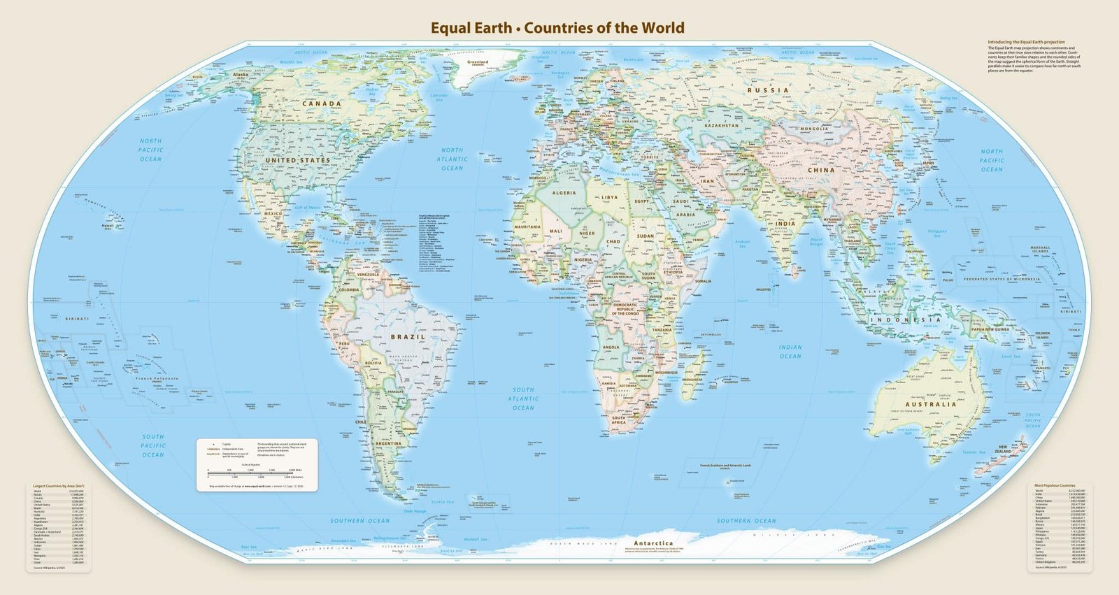
The Equal Earth projection, developed in 2018, addresses these inaccuracies by maintaining the true proportions of landmasses, particularly highlighting Africa’s actual size. In February 2026, the African Union formally adopted this new projection, emphasizing a more equitable representation of all continents.
Although the UN resolution is non-binding and does not compel countries to revise their maps, it is anticipated that educational institutions and international organizations will begin to transition to the Equal Earth projection. The French Foreign Minister announced that France would discontinue the use of the Mercator map, underscoring the broader implications of accurate geographic representation.
The U.S. representative expressed concerns that the resolution diverted attention from pressing global issues, framing the debate around historical cartographic inaccuracies as misaligned with the UN’s core mission. Nevertheless, proponents argue that the issue transcends mere geography; it reflects longstanding narratives that have shaped perceptions of Africa and its role in the world.
The adoption of the Equal Earth projection marks an important milestone in global representation, with potential implications for education, diplomacy, and international policy. The ongoing challenge will be ensuring that this new standard is embraced by institutions worldwide.
Check out the original article here: Source link