For the first time in history, scientists have successfully mapped the world’s largest deep-sea coral reef, an expansive ecosystem covering approximately 6.4 million acres off the Atlantic coast of the United States. Utilizing advanced 3D mapping technology, researchers uncovered this significant underwater habitat, which is larger than the state of Vermont.
The coral reef, known as “Million Mounds,” was identified through data collected from 31 sonar mapping studies. This section of the reef stretches about 310 miles and reaches widths of up to 68 miles, situated at depths ranging from 656 to 3,280 feet. The average water temperature in the area is around 39 degrees Fahrenheit, where stony corals thrive in the absence of sunlight by filter-feeding on biological particles.
Located on the Blake Plateau, the reef extends from Miami to Charleston, approximately 100 miles off the southeastern U.S. coast. Researchers documented an astonishing 83,908 distinct coral mound summits, revealing the vastness and ecological significance of this previously underexplored marine environment.
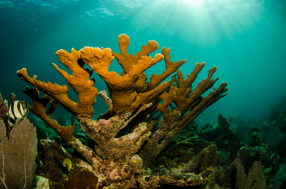
Cold-water corals, which dominate this ecosystem, serve as vital habitat for numerous marine species, providing shelter and feeding grounds. Despite their ecological importance, these corals remain poorly understood, highlighting the need for ongoing research and exploration.
The study underscores the pressing threats faced by deep-sea coral reefs, including risks from oil and gas exploitation and the impacts of climate change. With only about three-quarters of the ocean floor mapped in high resolution, researchers suggest there may be even larger undiscovered deep-sea reefs, emphasizing the critical need for continued exploration and conservation efforts.
The mapping of the largest deep-sea coral reef off the U.S. Atlantic Coast represents a significant milestone in marine exploration and reinforces the importance of protecting these delicate ecosystems for future generations.